








Via de la Plata

  • 973 km
  • 36 stages
  • Hard Difficulty
  • 9,398 m of ascent
Elevation profile of the route
5 673 1,341 km 0 km 487 km 973.4
↑ 9,398 m of ascent ↓ 9,154 m of descent Altitude: 5–1,341 m

Make it yours

Your 36-stage Camino, ready in seconds

Save this route as your Camino. You will have each stage and date prepared, a quick diary during the trip and a complete memory when you return.

I want to walk this Camino Private by default. You decide what to share.

Route map

Click any stage number to locate it on the map.

Inicio Stage (one colour per route) End Branch point Place
Map layers
Choose what to show on the map.

Routes

Detail

Via de la Plata Vía de la Plata to Astorga

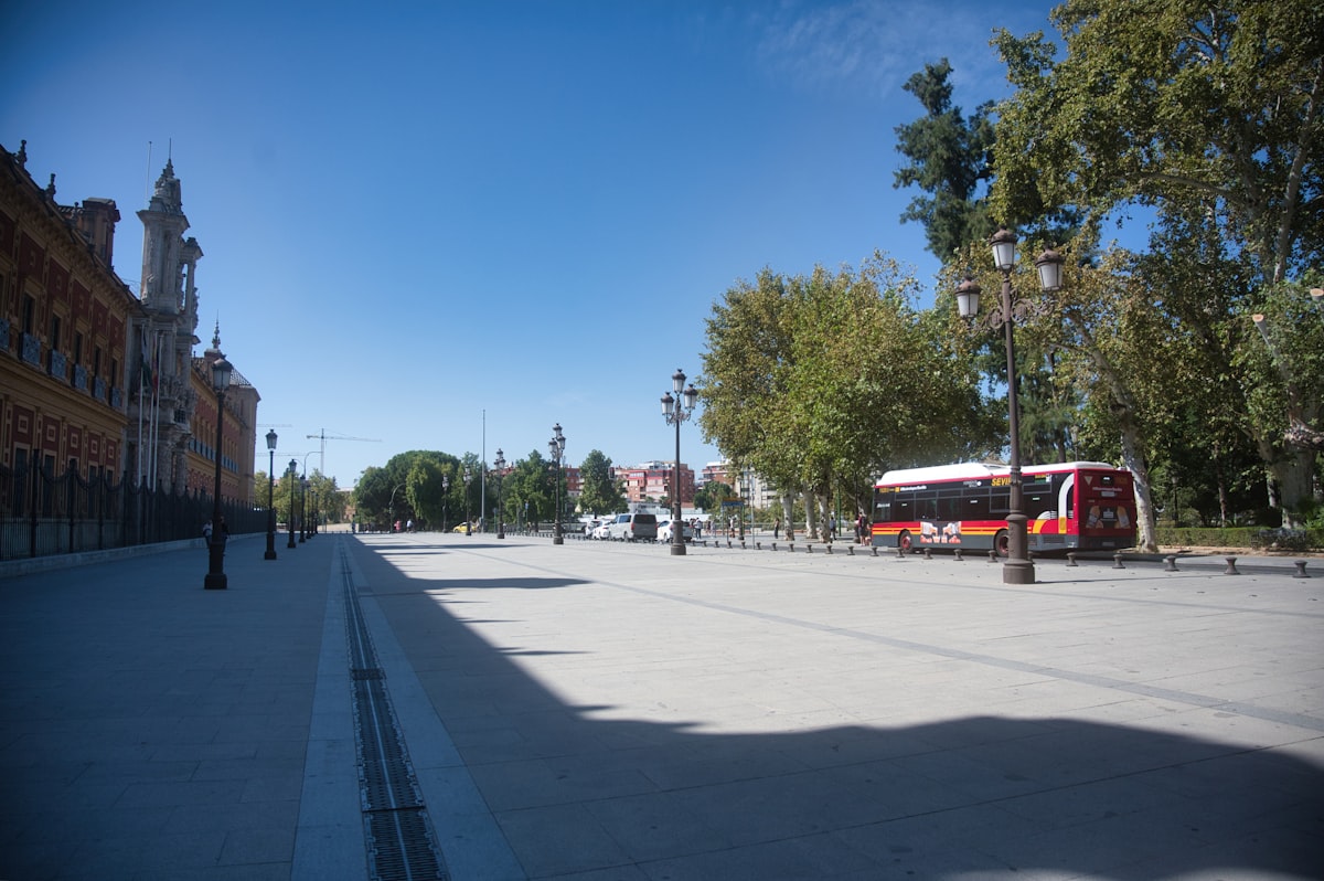
Seville is the starting point of this Jacobean route which, following ancient Roman roads, crosses Extremadura and Castilla y León before reaching Galicia. At 973 km and 36 stages, it is one of the longest Camino de Santiago routes.

From Granja de Moreruela the route continues along the Sanabrés Way, entering Galicia via Ourense and reaching Santiago de Compostela; a variant also heads to Astorga to join the French Way.

Pilgrims cross dramatically changing landscapes: from the olive groves and vineyards of Andalusia to the rolling plains of Extremadura, passing the monumental cities of Mérida and Cáceres (both UNESCO World Heritage Sites), to the cereal fields of Castile and the oak and eucalyptus forests of Galicia.

Multiple Roman vestiges endure: stretches of road, bridges, milestones, theatres and arches that have been in use for over 2,000 years. The name likely derives from the Arabic "balata" (paved road).

It is a route for experienced pilgrims, with longer stages and fewer services than the French Way, but rewarding with contemplative solitude and extraordinary historical heritage.

Pilgrim stories

This is how this route was experienced

See all stories →

Elisabeth Hartmann · 5 days

Story by the team

Fünf Tage Extremadura: Weite, Störche und ein Camino fast für mich allein

Von Zafra über Mérida nach Cáceres auf der Vía de la Plata, allein, im April. Wer den Camino ohne Menschenmassen sucht, findet ihn hier: Korkeichen, Römerstraßen, Etappen von 36 Kilometern, Mönche, die Pilger aufnehmen, und eine Stille, die man in Deutschland nicht mehr findet.

Stages

Walk the Camino day by day. Click the number to locate the stage on the map.

  1. Sevilla → Guillena

    21.9 km 4.9 h Flat
  2. Guillena → Castilblanco de los Arroyos

    18.3 km 4.1 h Flat
  3. Castilblanco de los Arroyos → Almadén de la Plata

    28.2 km 6.3 h Rolling
  4. Almadén de la Plata → Monesterio

    33.6 km 7.5 h Rolling
  5. Monesterio → Fuente de Cantos

    20.7 km 4.6 h Flat
  6. Fuente de Cantos → Zafra

    24.2 km 5.4 h Rolling
  7. Zafra → Villafranca de los Barros

    19.8 km 4.4 h Flat
  8. Villafranca de los Barros → Torremejía

    26.7 km 5.9 h Rolling
  9. Torremejía → Mérida

    15.3 km 3.4 h Flat
  10. Mérida → Alcuéscar

    35.9 km 8.0 h Rolling
  11. Alcuéscar → Cáceres

    37.4 km 8.3 h Rolling
  12. Cáceres → Embalse de Alcántara

    27.4 km 7.7 h Rolling
  13. Embalse de Alcántara → Grimaldo

    25.9 km 4.5 h Flat
  14. Grimaldo → Carcaboso

    30.2 km 6.7 h Rolling
  15. Carcaboso → Aldeanueva del Camino

    38.3 km 8.5 h Rolling
  16. Aldeanueva del Camino → La Calzada de Béjar

    21.8 km 4.8 h Flat
  17. La Calzada de Béjar → Fuenterroble de Salvatierra

    20.2 km 4.5 h Flat
  18. Fuenterroble de Salvatierra → San Pedro de Rozados

    27.9 km 6.2 h Rolling
  19. San Pedro de Rozados → Salamanca

    23.6 km 5.2 h Rolling
  20. Salamanca → El Cubo de la Tierra del Vino

    36.4 km 8.1 h Rolling
  21. El Cubo de la Tierra del Vino → Zamora

    31.6 km 7.0 h Rolling
  22. Zamora → Montamarta

    19.2 km 4.3 h Flat
  23. Montamarta → Granja de Moreruela

    22.6 km 5.0 h Rolling
  24. Granja de Moreruela → Tábara

    25.3 km 5.6 h Rolling
  25. Tábara → Santa Marta de Tera

    22.7 km 5.0 h Rolling
  26. Santa Marta de Tera → Mombuey

    36.1 km 8.0 h Flat
  27. Mombuey → Puebla de Sanabria

    31.7 km 7.0 h Rolling
  28. Puebla de Sanabria → Lubián

    29.5 km 6.6 h Mountainous
  29. Lubián → A Gudiña

    23.8 km 5.3 h Mountainous
  30. A Gudiña → Laza

    34.0 km 7.6 h Mountainous
  31. Laza → Xunqueira de Ambía

    33.2 km 7.4 h Mountainous
  32. Xunqueira de Ambía → Ourense

    22.0 km 4.9 h Flat
  33. Ourense → Cea

    22.2 km 4.9 h Flat
  34. Cea → A Laxe

    40.3 km 7.5 h Rolling
  35. A Laxe → Outeiro

    25.1 km 7.4 h Rolling
  36. Outeiro → Santiago de Compostela

    20.4 km 3.7 h Flat

Frequently asked questions about the Via de la Plata

How many kilometres is the Via de la Plata?

The Via de la Plata is 973 km long, divided into 36 stages, from Sevilla to Santiago de Compostela.

How many days does the Via de la Plata take?

The classic division is 36 stages, one per day, averaging 27.0 km daily. At a brisk pace stages can be combined; at a gentler pace, split up.

Where does the Via de la Plata start and end?

It starts in Sevilla and ends in Santiago de Compostela.

Which is the hardest stage of the Via de la Plata?

Stage 34 (Cea → A Laxe), with 599 m of accumulated ascent.

How many hostels are there on the Via de la Plata?

Peregrinia has 196 pilgrim hostels mapped along the Via de la Plata, listed stage by stage with their exact kilometre point.

Companions for this route

Who is walking the Via de la Plata with you?

Say when you leave and from where: anyone preparing this route on similar dates will find you.

Route community

People and answers for this Camino

We only show real activity linked to this route: upcoming departures, questions people can answer and first-hand stories.

Find people for this section
Ask a question