

French Way

  • 772 km
  • 33 stages
  • Medium Difficulty
  • 9,026 m of ascent
Elevation profile of the route
172 824 1,476 km 0 km 386 km 771.3
↑ 9,026 m of ascent ↓ 8,894 m of descent Altitude: 172–1,476 m

Make it yours

Your 33-stage Camino, ready in seconds

Save this route as your Camino. You will have each stage and date prepared, a quick diary during the trip and a complete memory when you return.

I want to walk this Camino Private by default. You decide what to share.

Route map

Click any stage number to locate it on the map.

Inicio Stage End Place
Map layers
Choose what to show on the map.

Detail

The French Way (Camino Francés) is the most famous and popular pilgrimage route to Santiago de Compostela. Starting from Saint-Jean-Pied-de-Port in France, it crosses the Pyrenees and travels 772 km across northern Spain to the Cathedral of Santiago.

According to the Pilgrim's Office, in 2025 45.6% of pilgrims who received the Compostela arrived by this route. Over 33 stages it passes through historic cities like Pamplona, Burgos and León, as well as medieval villages with centuries of pilgrim hospitality.

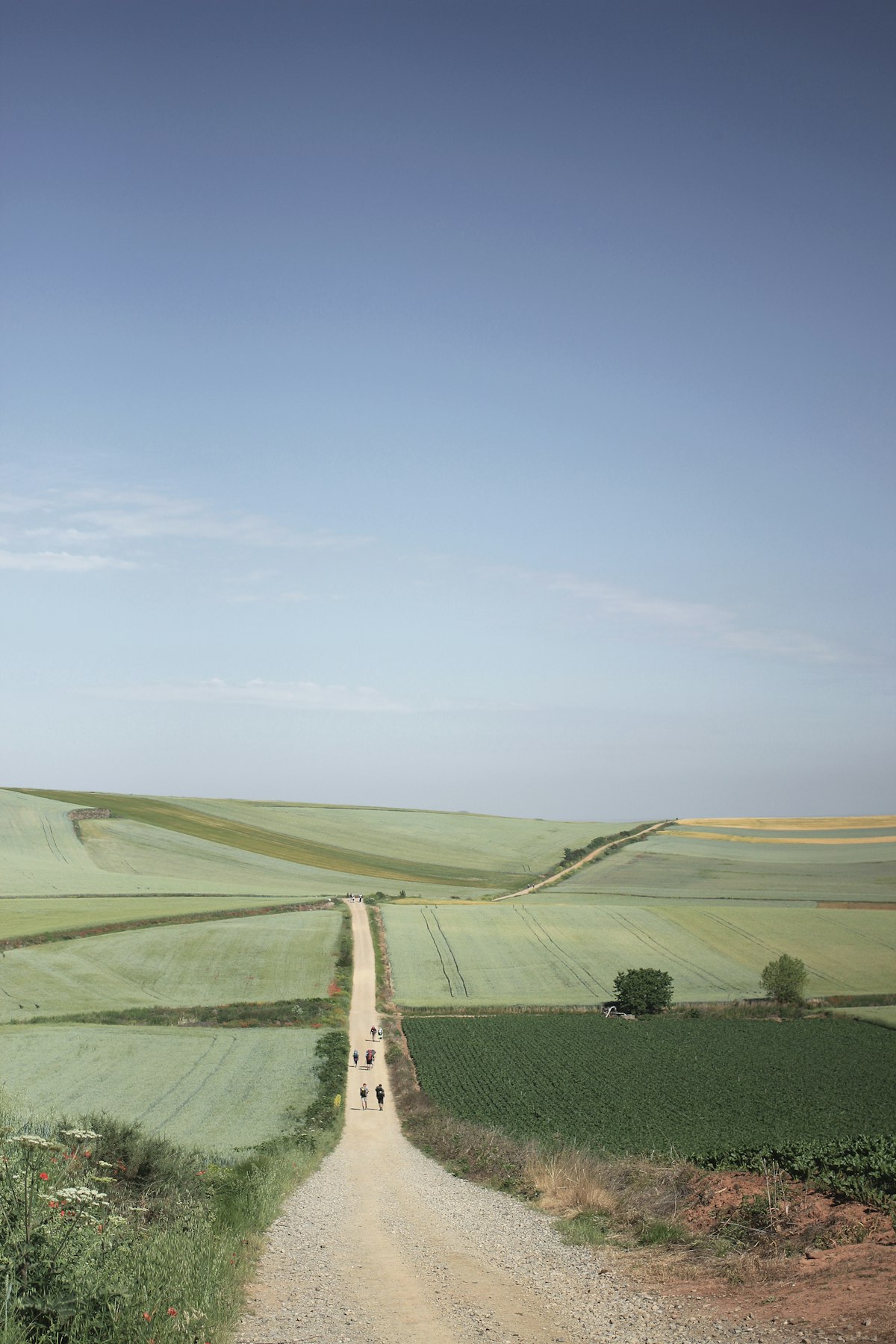
The French Way follows the ancient route described in the Codex Calixtinus (12th century), history's first travel guide. It crosses diverse landscapes: the green Navarrese valleys, the cereal plains of the Castilian Meseta, the hills of El Bierzo and the stone villages of Galicia.

It is the route with the best infrastructure for pilgrims, with hundreds of hostels, fountains, yellow arrow waymarks and support services. Ideal for first-time walkers and experienced pilgrims alike.

Pilgrim stories

This is how this route was experienced

See all stories →

Jose Ramón · Story

Confieso que en Melide quise dejarlo

Una confesión de mi Camino con mis padres: el momento exacto, con el pulpo delante y el horario de autobuses en el móvil, en que estuve a punto de rendirme, y lo que me hizo seguir hasta Arzúa.

Camille Roux · 3 days

Written by the editorial team

Trois jours pour franchir les Pyrénées, seule et sans peur

Saint-Jean-Pied-de-Port, Roncevaux, Zubiri, Pampelune : les trois premiers jours du Camino francés racontés par une Lyonnaise de trente-quatre ans qui partait seule pour la première fois, avec une peur qu'elle a laissée au col de Lepoeder.

Stages

Walk the Camino day by day. Click the number to locate the stage on the map.

  1. Saint-Jean-Pied-de-Port → Roncesvalles

    24.2 km 5.4 h Mountainous
  2. Roncesvalles → Zubiri

    21.4 km 4.8 h Rolling
  3. Zubiri → Pamplona

    20.4 km 4.5 h Rolling
  4. Pamplona → Puente la Reina

    23.9 km 5.3 h Rolling
  5. Puente la Reina → Estella

    21.6 km 4.8 h Rolling
  6. Estella → Los Arcos

    21.3 km 4.7 h Rolling
  7. Los Arcos → Logroño

    27.6 km 6.1 h Rolling
  8. Logroño → Nájera

    28.5 km 6.3 h Rolling
  9. Nájera → Santo Domingo de la Calzada

    20.7 km 4.6 h Rolling
  10. Santo Domingo de la Calzada → Belorado

    22.0 km 4.9 h Rolling
  11. Belorado → San Juan de Ortega

    23.9 km 5.3 h Rolling
  12. San Juan de Ortega → Burgos

    25.8 km 5.7 h Rolling
  13. Burgos → Hornillos del Camino

    20.3 km 4.5 h Rolling
  14. Hornillos del Camino → Castrojeriz

    19.9 km 4.4 h Rolling
  15. Castrojeriz → Frómista

    24.7 km 5.5 h Rolling
  16. Frómista → Carrión de los Condes

    18.8 km 4.2 h Rolling
  17. Carrión de los Condes → Terradillos de los Templarios

    26.3 km 5.8 h Rolling
  18. Terradillos de los Templarios → Bercianos del Real Camino

    26.7 km 5.2 h Rolling
  19. Bercianos del Real Camino → Mansilla de las Mulas

    26.3 km 5.8 h Rolling
  20. Mansilla de las Mulas → León

    18.4 km 4.1 h Rolling
  21. León → San Martín del Camino

    24.6 km 5.5 h Rolling
  22. San Martín del Camino → Astorga

    28.0 km 5.3 h Rolling
  23. Astorga → Foncebadón

    25.8 km 5.7 h Rolling
  24. Foncebadón → Ponferrada

    26.8 km 6.0 h Mountainous
  25. Ponferrada → Villafranca del Bierzo

    23.2 km 5.2 h Rolling
  26. Villafranca del Bierzo → O Cebreiro

    27.8 km 6.2 h Mountainous
  27. O Cebreiro → Triacastela

    20.6 km 4.6 h Rolling
  28. Triacastela → Sarria

    17.8 km 4.0 h Rolling
  29. Sarria → Portomarín

    22.2 km 4.9 h Rolling
  30. Portomarín → Palas de Rei

    24.8 km 5.5 h Rolling
  31. Palas de Rei → Arzúa

    28.5 km 6.3 h Rolling
  32. Arzúa → O Pedrouzo

    19.3 km 4.3 h Rolling
  33. O Pedrouzo → Santiago de Compostela

    19.4 km 4.3 h Rolling

Frequently asked questions about the French Way

How many kilometres is the French Way?

The French Way is 772 km long, divided into 33 stages, from Saint-Jean-Pied-de-Port to Santiago de Compostela.

How many days does the French Way take?

The classic division is 33 stages, one per day, averaging 23.4 km daily. At a brisk pace stages can be combined; at a gentler pace, split up.

Where does the French Way start and end?

It starts in Saint-Jean-Pied-de-Port and ends in Santiago de Compostela.

Which is the hardest stage of the French Way?

Stage 1 (Saint-Jean-Pied-de-Port → Roncesvalles), with 1290 m of accumulated ascent.

How many hostels are there on the French Way?

Peregrinia has 613 pilgrim hostels mapped along the French Way, listed stage by stage with their exact kilometre point.

Companions for this route

1 pilgrim sets out on the French Way in October

See who leaves on your dates, write to them and walk in company from day one.

Route community

People and answers for this Camino

We only show real activity linked to this route: upcoming departures, questions people can answer and first-hand stories.

Find people for this section