











The stage, step by step
Leaving A Gudiña
Leave A Gudiña with everything sorted: you can shop at Supermercado Maver, eat at Nicoya and visit Farmacia Ortopedia Estévez A Gudiña. The route climbs 105 m between km 0.5 and 4.5 at the start.
First descents and water point
After the initial climb, the route descends between km 4.5 and 7.8. Fonte da Venda da Teresa lies around km 8.6; use it as a reference to check your water before entering the middle section.
A constant saw-tooth profile in the middle
This is where the stage becomes a saw-tooth profile: up, down, then up again. None of the rises is long, but linked together and with a rucksack on, they are more tiring than the profile might suggest.
Ramps and final descent to Laza
Between km 17.8 and 20.5 you descend 224 m, but still have to regain 89 m by km 22. From km 25.5 the long descent towards Laza begins: 527 m of descent all the way to the end of the stage.
What to see on stage 30
A Gudiña
It is the best place to prepare for such a long day. Before setting off you can have breakfast at Nicoya, shop at Supermercado Maver and arrange your night at Casa da Viúva or Albergue de Peregrinos.
Fonte da Venda da Teresa
The fountain lies around the first third of the route and provides a useful break after the first series of climbs and descents. Do not make it your only water option for the whole day.
The final descent to Laza
Nine kilometres continuously downhill, from km 25.5 to 34.5, at an average gradient of 5.9%. It is the part most people remember from this stage, and not always fondly: it comes after 25 km already in your legs and takes its toll on knees and toes.
Laza
Arriving in Laza brings a very long descent to an end and provides the services needed to rest. There you have Albergue de Peregrinos de Laza, Restaurante Blanco Conde, La Picota and several supermarkets and bars.
Where to sleep in Laza
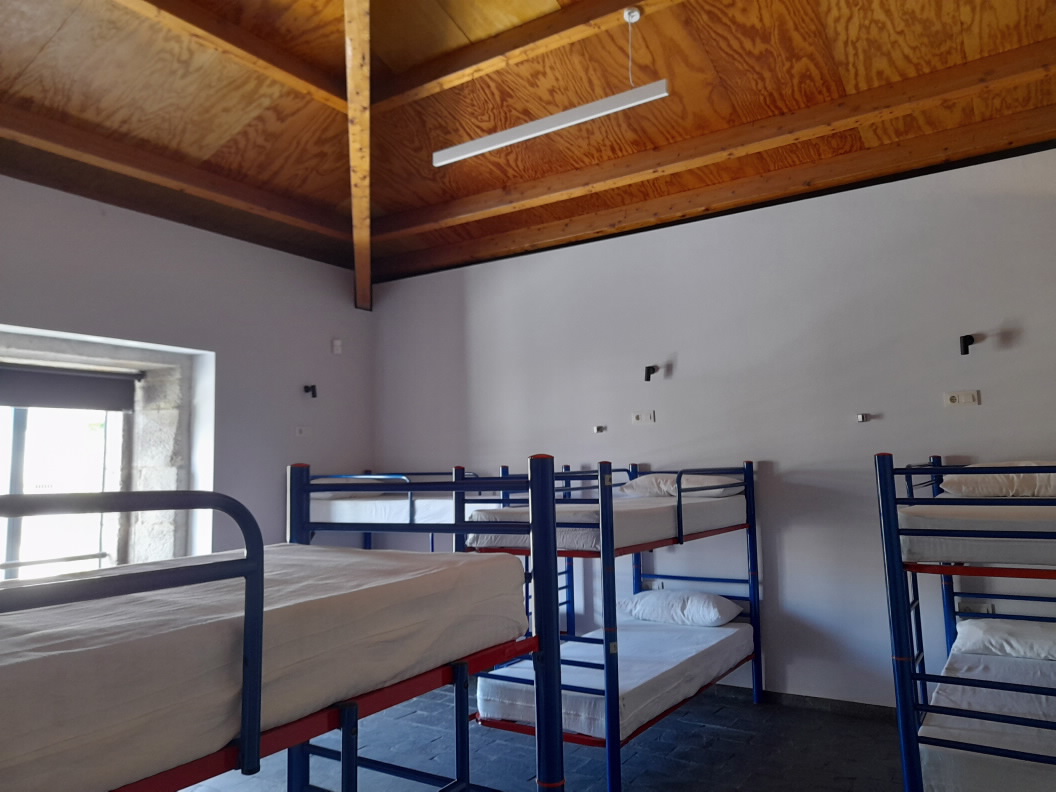
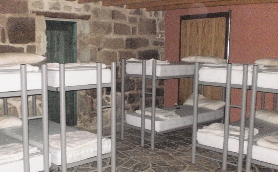
In A Gudiña you can stay at Albergue de Peregrinos or Casa da Viúva. On the final section there is Albergue De Peregrinos "Casa Do Asistente", almost at the destination, and in the village itself you have Albergue de Peregrinos de Laza. Accommodation is highly concentrated: if you plan to finish in Laza, confirm your bed before starting.
Where to eat and refuel
A Gudiña allows you to set off supplied with Nicoya and Supermercado Maver. Along the route there are Casa Núñez and Taberna Penaboa, but do not expect a full meal at every stop. Laza has Restaurante Blanco Conde, La Picota, Bar Peliqueiro, Taberna do Ardillas, Descanso do Peregrino, Supermercado Tandy, Supermercado DyD and Tilde.
Practical tips for this stage
Set off very early
At 34 km and with an average duration of 7.6 hours, this day needs some margin. Start in good time so you can tackle the ramps and final descent without walking after dark.
Carry food for the middle section
A Gudiña is the last clear place to organise provisions. Although you can stop at Casa Núñez or Taberna Penaboa, do not plan the stage as a succession of services.
Keep water in reserve for the end
Fonte da Venda da Teresa is around km 8.6, relatively early in such a long stage. Carry enough for the kilometres that follow and do not wait until the final descent to replenish.
Take care on the descent to Laza
Between km 25.5 and 34.5 you lose 527 m at an average gradient of 5.9%. It is a long descent; regulate your pace and protect your knees, especially if fatigue has already built up.
Frequently asked questions about stage 30
How long does it take to walk from A Gudiña to Laza?
The stage is 34 km long and the stated average duration is 7.6 hours. It includes 446 m of ascent and 960 m of descent.
Which section is the hardest?
The difficulty is spread out, but the descent between km 25.5 and 34.5 is the longest: it loses 527 m at an average gradient of 5.9%.
Where can I replenish my water?
Fonte da Venda da Teresa is around km 8.6. As a large part of the stage remains, leave A Gudiña with enough water and do not rely solely on that stop.
Is there accommodation in Laza?
Yes. Albergue de Peregrinos de Laza is in Laza, along with services such as Restaurante Blanco Conde, La Picota, supermarkets and bars.