The stage, step by step
From A Laxe to Silleda
The first kilometres alternate a short 38 m climb between km 3.2 and km 4.2 with the subsequent descent to km 8.8, which loses 155 m. Around km 5, you enter Silleda, the first substantial service area: Casas Novas, O Camiño, Froiz supermarket and several albergues, including Albergue Santa Olaia and Albergue Turístico Silleda.
Bandeira: water and somewhere to stop
The route continues over tarmac, tracks and dirt paths to Bandeira, around km 12. Here you have Albergue Municipal da Bandeira, Fonte do Peregrino for filling your bottle, and places to sit down such as Tapería Bar and Viñoteca Cadeira. It is the last genuinely convenient point before the long section towards Ponte Ulla.
Towards A Estrada
The route descends between km 11.6 and km 13.2, then regains some height between km 16.2 and km 18. Around A Estrada, you will find El Emigrante, while Finca Anduriñas is a useful café reference before the long descent.
Descent to Ponte Ulla and Outeiro
Between km 19.6 and km 24.4, you tackle the day’s longest sustained descent, losing 277 m. Near Ponte Ulla, you can stop at Villa Verde or O Cruceiro; the final rise between km 24.4 and km 25.1 gains 34 m to Outeiro.
What to see on stage 9
Silleda and Bandeira
Silleda appears around km 5 and Bandeira around km 12; together, they provide almost all the services and accommodation on the stage. If you do not want to reach Outeiro, this is the most convenient area for arranging your overnight stop, and also the best place to eat before the long section.
Ponte Ulla
Ponte Ulla appears in the final section, after the prolonged descent. The area marks the transition from the rural landscape to the more direct approach to Santiago.
Traditional hórreos
The comarca’s abundance of stone and rock is particularly evident in the hórreos scattered through the villages. This is not one single monument, but a characteristic feature of the landscape accompanying much of the day.
The route towards Outeiro
The arrival follows a short climb after losing considerable height. The contrast between the descent towards Ponte Ulla and the final rise helps explain the profile of a stage that gradually draws closer to Santiago.
Where to sleep in Outeiro
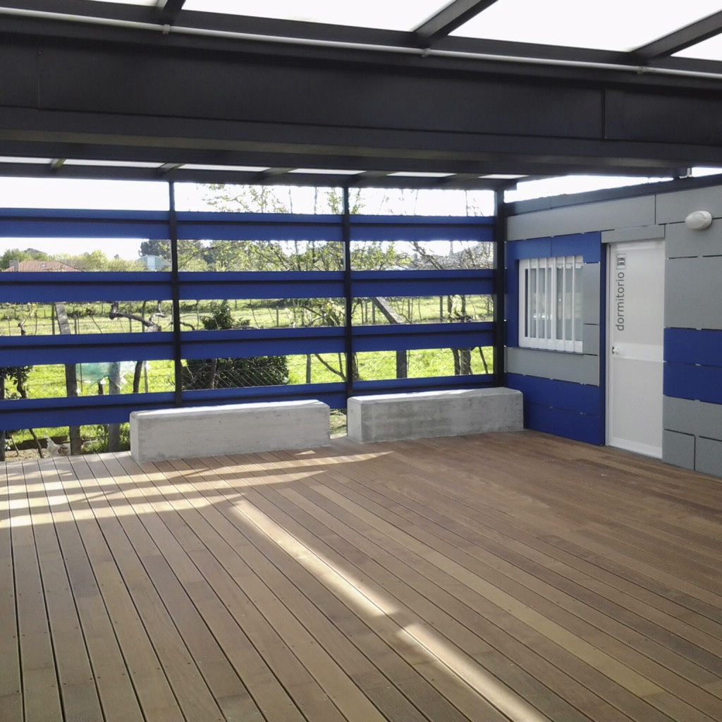
Most of the accommodation is within the first twelve kilometres. In Silleda, you have Albergue Santa Olaia, Albergue Turístico Silleda, El Gran Albergue del Peregrino and Albergue Trabazo, all close together; in Bandeira, Albergue Municipal da Bandeira and Hostal Conde Rey. Further on, there is only Albergue - Cafetería "Casa Leiras" and, near the end, O Cruceiro in A Ponte Ulla. If you want to sleep near Outeiro, confirm availability before setting off: the options become much more spread out.
Where to eat and refuel
In Silleda, you can eat at Casas Novas, O Camiño or Pizzería Galega Do Gato and shop at Froiz; in Bandeira, Viñoteca Cadeira and another supermarket, Dia, are available. The final section offers Villa Verde, O Cruceiro and Quenllas, as well as Covirán. There are tracks and roads between these service areas, so take some food if you are walking outside normal opening hours.
Practical tips for this stage
Plan your water carefully
You can use Fonte de Campo at the start, Fonte do Peregrino in the middle section and Fonte dos Carballiños or A Fonte towards the end. Even so, set off with enough water: between the villages, there is not always a convenient place to stop.
Do not underestimate the final descent
The descent between km 19.6 and km 24.4 loses 277 m at an average gradient of 5.8%. Although it may seem that the stage finishes downhill, tiredness and mixed surfaces can put a lot of strain on your legs.
Use Silleda for an overnight stop
Silleda and Bandeira, within the first twelve kilometres, offer the clearest accommodation choices. If you prefer to continue to Outeiro, check availability first and do not assume you will find a bed on arrival.
Take care with the different surfaces
There are forest tracks, tarmac sections and provincial roads, as well as areas with stone. The route is not particularly mountainous, but stay alert when the surface changes.
You will no longer be walking alone
Shortly before this stage, around Bendoiro and A Laxe, the Camino de Invierno joins the Sanabrés. From here, you share the route and beds with pilgrims from another Camino: if it is busy, allow more time to book in Silleda and along the final section.
Frequently asked questions about stage 9
How much elevation gain is there on the stage?
It is 25.3 km, with 294 m of ascent and 565 m of descent. Most of the elevation is lost on the prolonged descent towards Ponte Ulla.
Where is it best to stop for food or supplies?
Silleda, around km 5, and Bandeira, around km 12, are the most complete stops. In the final section, you will also find options in Ponte Ulla and near Outeiro, including Villa Verde, O Cruceiro, Quenllas and Covirán.
Are there fountains along the route?
The references are Fonte de Campo, Fonte do Peregrino, Fonte dos Carballiños and A Fonte. Carry water from the start and use these points rather than expecting fountains between every village.
Where can I sleep if I do not want to reach Outeiro?
Silleda, around km 5, has the widest choice: Albergue Santa Olaia, Albergue Turístico Silleda, El Gran Albergue del Peregrino and Albergue Trabazo. In Bandeira, around seven kilometres later, you have Albergue Municipal da Bandeira.