The stage, step by step
A demanding start from Pontedeume
You leave Pontedeume after crossing its historic area and begin with a series of changes in gradient. The first section alternates a climb between km 3.5 and km 5 with a subsequent descent that loses 121 m by approximately km 7.3.
Rural paths and valleys
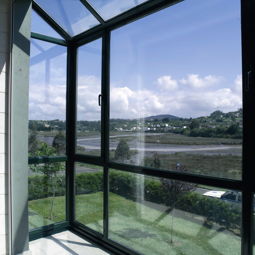
The route becomes more inland, with dirt tracks, road sections and wooded areas. Broad views of the Eume and Lambre estuaries appear between valleys and open spaces, although the continuous maritime character of the first stages has now disappeared.
Passing through Miño
Miño lies roughly halfway through the day and is the most useful place to stop. You can restock at Eroski (Miño), Gadis (Miño) or Covirán, and eat at Pizza Miño or O Picoteo (Miño).
The final climb and arrival in Betanzos
After Miño comes the 88 m climb between km 13.5 and km 15, with an average gradient of 5.9%. The route then gradually loses height towards Betanzos; once in town, allow time to explore the historic centre.
What to see on stage 3
Iglesia de Santa María do Azogue
This Gothic church, declared a National Monument, is known for its doorway and large rose window. It stands at the heart of medieval Betanzos and is one of the essential visits at the end of the stage.
Iglesia de San Francisco
The Gothic church contains the medieval tombs of the Andrade family, recognisable by their bear and boar symbols. Its presence explains much of Betanzos’ historical importance.
Medieval Betanzos
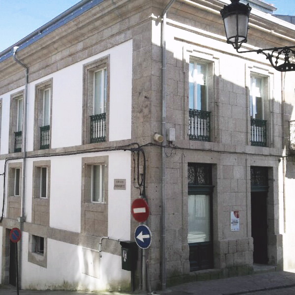
The town preserves narrow streets, squares and buildings from its past as one of Galicia’s most important towns. It was the capital of the Kingdom of Galicia between 1065 and 1071 and was later closely linked to the power of the Andrade family.
The Eume and Lambre estuaries
The route offers wide views over estuaries and valleys before heading inland. These landscapes are quieter and more rural than those of the first days, with a stronger presence of woodland.
Where to sleep in Betanzos
In Pontedeume, you have the Albergue de Peregrinos de Pontedeume and the Albergue Río Eume. If you want to split the effort, Miño has the Albergue de peregrinos de Miño and the Albergue De Peregrinos De Miño (Miño). Betanzos offers the municipal albergue at Casa da Pescadería, the Albergue Río Mandeo and the Albergue Sta María del Azogue; it is the destination with the widest choice.
Where to eat and refuel
Pontedeume lets you have breakfast or buy supplies before setting off, with places such as El Pinar, Cafetería Bogavante and A Pitanza (Pontedeume). Miño is the most reliable midway stop, with Pizza Miño, O Picoteo (Miño) and supermarkets including Eroski (Miño) and Gadis (Miño). In Betanzos, the choice is plentiful again; try the local tortilla in a traditional tavern, or look for restaurants such as A Raxería do Pote, Casa Miranda and Restaurante Sinuessa (Betanzos).
Practical tips for this stage
Take the start seriously
The climb out of Pontedeume is very steep and begins almost as soon as you cross the bridge. If you are tired, start slowly: the stage gains 289 m overall, even though it finishes with more descent than ascent.
Carry water as far as Miño
The fountains are spread out rather than forming a continuous chain of services. Set off with a full bottle and use fountains along the way, such as Fonte de San Agostiño or Fonte da Ponte Vella, before entering Betanzos.
Do not rush the afternoon climb
The climb between km 13.5 and km 15 is short, but its average gradient of 5.9% is noticeable after several hours on the trail. Keep a steady pace and do not tackle it without having eaten.
Leave time for Betanzos
The average walking time is 4.2 hours, but the arrival deserves a long break. If possible, reach the town with enough time to visit Santa María do Azogue and San Francisco.
Frequently asked questions about stage 3
How long does it take to walk from Pontedeume to Betanzos?
The stage is 19.1 km long, with an average walking time of 4.2 hours.
Where is the hardest section?
The climb out of Pontedeume is very steep. Later, the climb between km 13.5 and km 15 gains 88 m at an average gradient of 5.9%.
Are there services halfway through?
Yes. Miño is the most useful midway stop for food, shopping and refilling your water before the final section.
What is worth visiting in Betanzos?
The medieval centre and its Gothic churches, especially Santa María do Azogue and San Francisco. The town is also famous for its tortilla de patatas.